Search Images
Browse Content (p. 1742)
Image
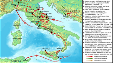
Map of the Gothic War
Map of the operations of the first phase of the Gothic War between the Ostrogoths and the Byzantine Empire, covering the period from the first Byzantine attacks in 535 until the fall of Ravenna in 540 and the recall of Belisarius.
Image
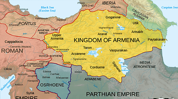
Map of Armenia, 50 CE
Map of Armenia and the Roman client states in eastern Asia Minor, ca. 50 CE, before the Roman-Parthian War and the annexation of the client kingdoms into the Empire.
Image
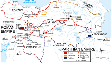
Map Roman-Parthian War, 58-60 CE
Map of the troop movements during the first two years of the Roman-Parthian War over Armenia (58 to 63 CE), detailing the Roman offensive into Armenia and capture of the country by Gnaeus Domitius Corbulo.
Image
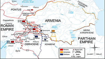
Map of the Roman-Parthian War, 61-63 CE
Map of the troop movements during the last years of the Roman-Parthian War over Armenia (58 to 63 CE), detailing the Parthian counteroffensive and the defeat of the Roman army under L. Caesennius Paetus at Rhandeia.
Image
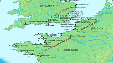
Map of the Saxon Shore, c. 380 CE
The Late Roman fortifications of the "Saxon Shore" (litus Saxonicum) in Britain and France.
Image
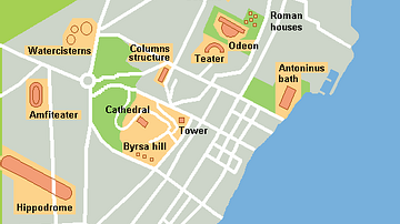
Map of Roman Buildings in Carthage
Rough map of modern Carthage showing remaining ruins from Punic and Roman Era.
Image
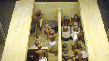
Ancient Egyptian Brewery and Bakery
A funerary model of a bakery and brewery, dating the 11th dynasty, circa 2009-1998 B.C. Painted and gessoed wood, originally from Thebes.

Image
Bust of Julius Caesar
The "Tusculum portrait", one of two surviving busts of Julius Caesar made during his lifetime.
Image
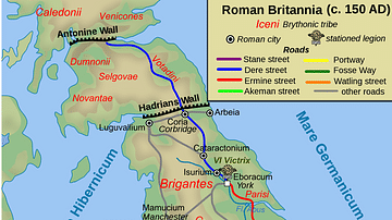
Map of Roman Britain, 150 AD
Map of Roman Britain ca. 150 AD, showing the main Roman roads, cities, and Brythonic tribes.
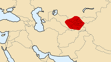
Image
Map of Sogdiana, ca. 300 BCE
Map of Sogdiana ca. 300 BCE. (Alternate names: Sughd, Sugdiane, Sughuda, Sute)