Search Images
Browse Content (p. 1743)
Image
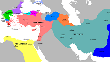
Map of the Successor Kingdoms, c. 303 BCE
Map of the Diadochi successor kingdoms to Alexander the Great's empire, before the Battle of Ipsus (301 BCE).

Image
Avenue of the Sphinxes, Thebes
The Avenue of the Sphinxes is a 3-km ancient processional route that once linked Luxor temple with the Temple of Mut at Karnak to the south. The avenue and sphinxes were built during the reign of Nectanebo I (380-363 BCE) who ruled during...
Image
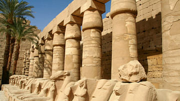
The Rams of Amon
Ram-headed sphinxes deposited in the first court in the Temple of Karnak, Egypt. Before the temple was extended by the construction of the first court and its pylon, these sphinxes were part of the original approach. When the approach avenue...
Image
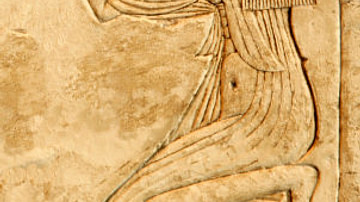
Egyptian Royal Woman
An Egyptian Royal Woman, probably of the 18th Dynasty, possibly Nefertiti.
Image
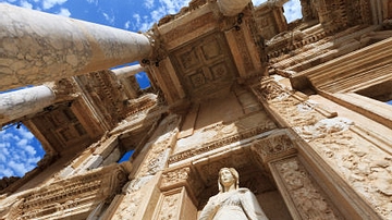
Library of Celsus
The Library of Celsus in Ephesos (completed 117 AD), with a statue of Arete in the foreground.

Image
Map of Mesopotamia, 2000-1600 BCE
A general map of Mesopotamia and its neighbouring territories which roughly covers the period from 2000-1600 BCE reveals the concentration of city states in Sumer, in the south. This is where the first true city-states arose, although...

Image
Map of the Trojan War States, c. 1200 BCE
The Bronze Age collapse at the end of the 13th century BCE saw a great many changes in the ancient world. Many second millennium states disappeared entirely, as cities were destroyed and peoples migrated. Others underwent a process of transformation...
Image
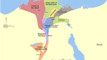
Map of the Third Intermediate Period
A map showing the political divisions in ancient Egypt during the Third intermediate Period, about 730 BC. The rulers of the 22nd and 23rd Dynasties ruled simultaneously, alongside Libyan chieftains controlling most of the Delta.
Image
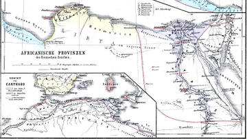
Map of Roman Africa
Nothern Africa under Roman rule. From H.Kiepert (1879), Historischer Schulatlas.
Image
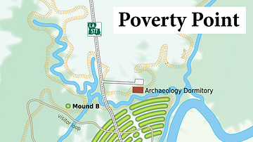
Poverty Point
Map of the Poverty Point archaeological site, Louisiana.