Search Images
Browse Content (p. 1748)
Image
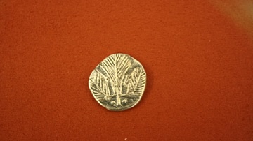
Selinus Silver Didrachm
Silver didrachm from Selinus, Sicily, c. 530 BCE. O: Celery leaf. (R: incuse square with triangle sections).
Image
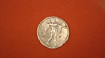
Poseidonian Silver Stater
Silver stater from Poseidonia, Lucania, 520 BCE. O: Poseidon with trident. (R: as obverse but incuse).
Image
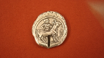
Macedonian Silver Dodecadrachm
Silver dodecadrachm from Derrones, Macedonia, ca 500-480 BCE. O: Nude male figure with two oxen. (R: incuse square).
Image
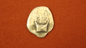
Delos Silver Drachm
Silver drachm from Delos, Cyclades, late 6th century BCE. O: Lyre (R: incuse square).
Image
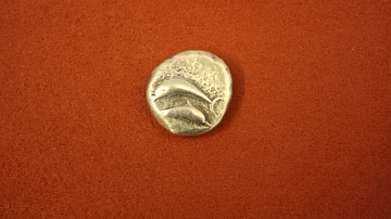
Thera Silver Stater
Silver stater from Thera, Cyclades, c. 500 BCE. O: Two dolphins. (R: incuse square).
Image
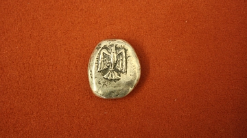
Siphnos Silver Stater
Silver stater from Siphnos, Cyclades, 540-500 BCE. O: Eagle. (R: incuse square).
Image
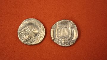
Calymna Silver Stater
Silver stater from Calymna, Caria, 600-550 BCE. O: Male head in crested helmet. R: Lyre in incuse square.
Image
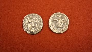
Rhodes Silver Didrachm
Silver didrachm from Rhodes, Caria, 304-166 BCE. O: Head of Helios. R: Rose.
Image
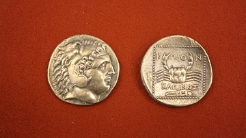
Cos Silver Tetradrachm
Silver tetradrachm from Cos, Caria, 300-190 BCE. O: Head of Hercules. R: Crab
Image
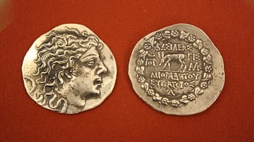
Mithridates Silver Tetradrachm
Silver tetradrachm from Pontus, reign of Mithridates VI Eupator, 120-63 BCE. O: Head of Mithridates. R: Stag.