
Search Images
Browse Content (p. 1750)
Image
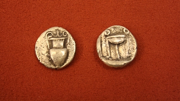
Zacynthos Silver Stater
Silver third of a stater from Zacynthos, 500-456 BCE. O: Amphora. R: Tripod.
Image
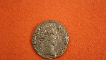
Corcyra Bronze Coin
Bronze coin from Corycra (Corfu), reign of Commodus, 180-192 CE. O: Head of Commodus. (R: Zeus).
Image
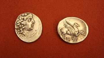
Corcyra Silver Didrachm
Silver didrachm from Corcyra (Corfu), 229-48 BCE. O: Head of Dionysus. R: Pegasus.
Image
Corcyra Silver Hemidrachm
Silver hemidrachm from Corcyra (Corfu), 229-48 BCE. O: Pegasus. R: Head of Aphrodite.
Image
Corcyra Silver Drachm
Silver drachm from Corcyra (Corfu), 229-48 BCE. O: Head of Dione. R: Pegasus.
Image
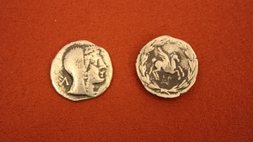
Corcyra Silver Stater
Silver stater from Corcyra (Corfu), 500-450 BCE. O: Cow suckling its calf. R: Incuse square.
Image
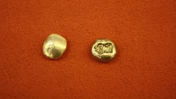
Electrum Sixth Of A Stater
Sixth of a stater in electrum from either Ionia or Lydia, 630-600 BCE. O: Non-type. R: Two incuse squares.
Image
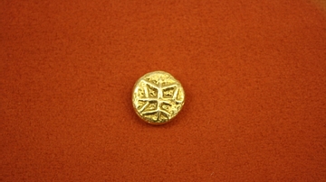
Electrum Third Of A Stater
A third of a stater in electrum from either Ionia or Lydia, ca 600 BCE. O: Geometric motif. (R: Incuse oblong).
Image
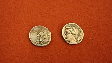
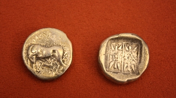
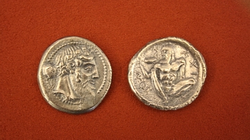
Naxos Silver Tetradrachm
Silver tetradrachm from Naxos, Sicily, c. 460 BCE. O: Head of Dionysos. R: Ithyphallic Silenos holding a cantharus.
Image
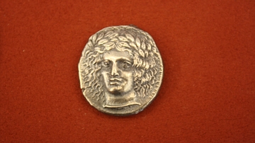
Sicilian Silver Tetradrachm
Silver tetradrachm from Catane, Sicily, c. 410 BCE. O: Head of Apollo. (R: Charioteer and Nike).