
Search Images
Browse Content (p. 1765)

Image
Claudius Bust, Milan
Large grain marble head believed to be a local (Mediolanum) copy of an official portrait of Roman emperor Claudius (41-54 CE). (Archaeological Museum, Milan)
Image
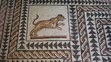
Panther, Roman Mosaic
Roman coloured stone mosaic floor with panther or lioness from a private residence in Mediolanum (modern Milan) 3rd century CE.

Image
Agrippina The Younger
Marble head of Empress Agrippina (The Younger) 15-59 CE, wife of Emperor Claudius. (Archaeological Museum, Milan)
Image
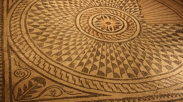
Roman Mosaic Floor, Mediolanum
Coloured stone Roman mosaic flooring from Mediolanum (modern Milan), 2nd to 3rd century CE. (Archaeological Museum, Milan)
Image
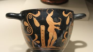
Greek Athlete With Strigil
Red figure skyphos or cup (410 BCE) depicting a nude athlete holding a strigil - used to clean the body of oil, dust and sweat after exercise. To the left is possibly a mid-race marker post. Attributed to the Amykos painter, Lucana (Southern...
Image
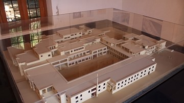
Palace of Malia
Model of the Minoan palace at Malia, Crete (1675 BC-1450 BCE).
Image
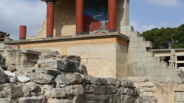
Palace of Knossos
The partially reconstructed wing of the palace of Knossos c. 1500 BCE.
Image
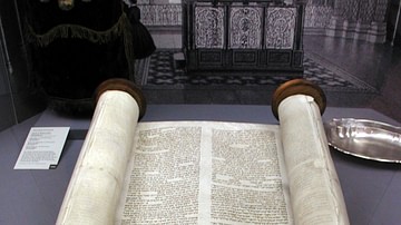
Torah
Sefer Torah at old Glockengasse Synagogue (reconstruction), Cologne.
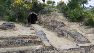
Image
Stadium Entrance, Nemea, Greece
This 36.5m long passageway, constructed in 330-320 BCE leads from the athletes locker room into the stadium and is the entrance through which the athletes would have first appeared to the waiting spectators.
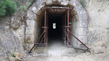
Image
Stadium Entrance Tunnel (East End), Nemea, Greece
Constructed in 330-320 BCE, the entrance to the stadium is mostly hidden from view from the spectators in the stadium and the athletes entrance would have been all the more dramatic.