Search Images
Browse Content (p. 319)

Image
Gods of Thunder
Gods of Thunder by Timothy R. Pauketat, Oxford University Press, 2023.
Image
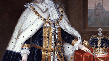
George II of Great Britain by Jervas
A 1730's portrait of George II of Great Britain (r. 1727-1760) by Charles Jervas. (Royal Collection)
Image
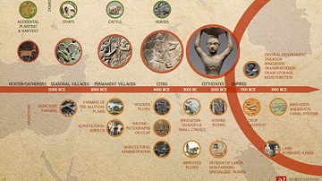
Agriculture in the Fertile Crescent and Mesopotamia - Timeline
A visual timeline illustrating the evolution of agriculture in parallel with invention and social development in the region of the Fertile Crescent (a term first used in 1916 by Egyptologist J.H. Breasted), enabling the establishment of cities...

Image
George II of Great Britain
A 1744 portrait by Thomas Hudson of George II of Great Britain (r. 1727-1760). (National Portrait Gallery, London)
Image
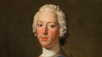
Bonnie Prince Charlie
A c. 1745 oil-on-canvas portrait by Allan Ramsay of Charles Edward Stuart (1720-88), also known as 'Bonnie' Prince Charlie or the Young Pretender since he sought and failed to restore the Stuart line to the throne of Britain in the Jacobite...
Image
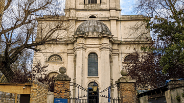
St. Anne’s Church, Limehouse
St. Anne’s Church, Limehouse, London. Consecrated in 1730, it is an early example of the Georgian architectural style.
Image
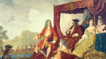
Handel & George I
A 19th-century illustration showing the composer George Frideric Handel (1685-1759) with George I of Great Britain (r. 1714-1727) in 1717. Handel performed his Water Music for the king during a trip along the River Thames.
Image
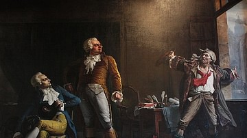
Robespierre, Danton, and Marat
An imagined conversation between three leaders of the French Revolution: Maximilien Robespierre (left), Georges Danton (center), and Jean-Paul Marat (right). This painting depicts a scene from Victor Hugo's novel Ninety-Three. Oil on canvas...
Image
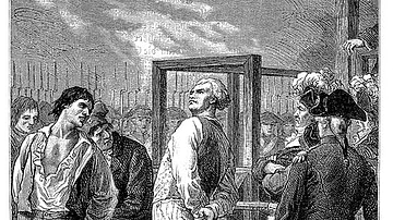
Execution of Danton
Execution of Georges Danton, 5 April 1794. Image by Charles Brabant, 19th century.
Image
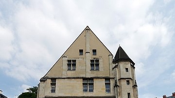
The Cordeliers Convent
The Cordeliers Convent in Paris, France, where the radical political society the Cordeliers Club met during the French Revolution (1789-1799).