
Search Images
Browse Content (p. 420)
Image
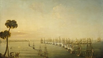
Battle of the Nile, 1 August 1798
A depiction of the early phase of the Battle of the Nile (1-2 August 1798), oil on canvas by Nicholas Pocock, 1808. National Maritime Museum, London.
Image
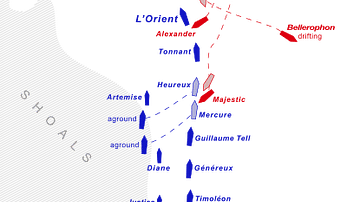
Ship Movements During the Battle of the Nile
Map of ship movements during the Battle of the Nile. British ships are red, French ships are blue. Image by Gsl; based on a map from Intelligence in War, John Keegan, 2003, p. 43.
Image
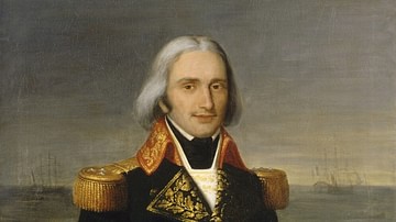
François-Paul Brueys d'Aigalliers
Posthumous portrait of French Vice-Admiral François-Paul Brueys d'Aigalliers, commander of the French fleet during the expedition to Egypt in 1798. He was killed aboard his flagship L'Orient during the Battle of the Nile (1-2 August 1798...
Image
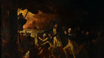
A Wounded Nelson at the Battle of the Nile
After sustaining a wound to the forehead, Horatio Nelson resumes command during the Battle of the Nile (1-2 August 1798). Oil on canvas by Daniel Orme, c. 1800.
National Maritime Museum, London.
Image
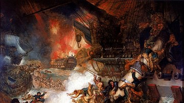
Destruction of L'Orient, 1 August 1798
A depiction of the moment that the powerful French warship, L'Orient, exploded during the Battle of the Nile (1-2 August 1798). Oil on canvas by Mather Brown, 1825.
National Maritime Museum, London.
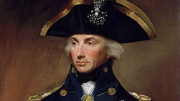
Image
Horatio Nelson
Portrait of Sir Horatio Nelson (1758-1805), oil on canvas by Lemuel Francis Abbott, 1799.
National Maritime Museum, London.
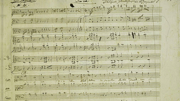
Image
Mozart's Music for his Requiem
A facsimile sheet of the music handwritten by Wolfgang Amadeus Mozart (1756-1791) of the composer's Requiem (1791).
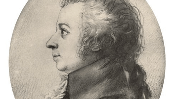
Image
Portrait of Mozart by Stock
A portrait by Dora Stock of Wolfgang Amadeus Mozart (1756-1791). Made two years before his death, it is regarded as one of the closest likenesses to the composer. (Mozarteum, Salzburg, Austria)
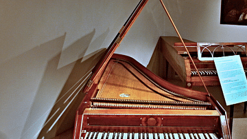
Image
Mozart's Piano
The fortepiano played by Wolfgang Amadeus Mozart (1756-1791) when he was in Prague in 1787. (Czech Museum of Music, Prague)
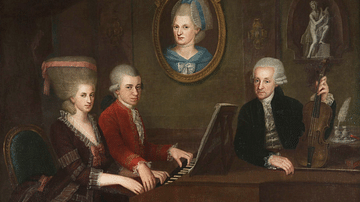
Image
Leopold, Maria Anna, & Wolfgang Amadeus Mozart
A c. 1781 painting by Johann Nepomuk della Croce showing Leopold Mozart (1719-1787) and his two children, Maria Anna (nicknamed ‘Nannerl’, 1751-1829) and Wolfgang Amadeus Mozart (1756-1791).