Search Images
Browse Content (p. 429)
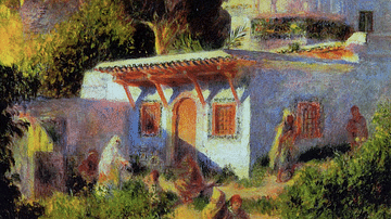
Image
Mosque in Algiers by Renoir
An 1882 oil on canvas, Mosque in Algiers, by Pierre-Auguste Renoir (1841-1919) the French impressionist painter. Made while the artist was recuperating from ill health, this was his second visit to Algiers. The mosque is the Sidi Abd-er-Rahman...

Image
Piazza San Marco, Venice by Renoir
An 1881 oil on canvas, Piazza San Marco, Venice, by Pierre-Auguste Renoir (1841-1919) the French impressionist painter. As the artist was experimenting with a new style, this work was painted with very loose brushstrokes and largely unmixed...
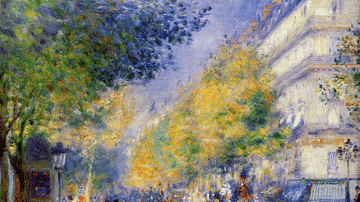
Image
The Great Boulevards by Renoir
An 1875 oil on canvas, The Great Boulevards, by Pierre-Auguste Renoir (1841-1919), the French impressionist painter. Paris was significantly remodelled in the second half of the 19th century, and one of the results was its now-famous wide...

Image
Woman in an Armchair by Renoir
An 1874 oil on canvas, Woman in an Armchair, by Pierre-Auguste Renoir (1841-1919) the French impressionist painter. Renoir was expert at relaxing his sitter and extracting from them a natural pose. He frequently used young women from the...
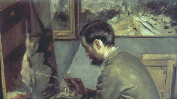
Image
Frédéric Bazille by Renoir
An 1867 oil on canvas, Frédéric Bazille, by Pierre-Auguste Renoir (1841-1919) the French impressionist painter. Renoir and Bazille, a fellow impressionist, shared a studio in Paris for several years. Renoir was greatly affected by Bazille's...

Image
Monet Painting in his Garden by Renoir
An 1873 oil on canvas, Monet Painting in his Garden at Argenteuil, by Pierre-Auguste Renoir (1841-1919) the French impressionist painter. Monet and Renoir were close friends and worked together in several spells throughout their careers...
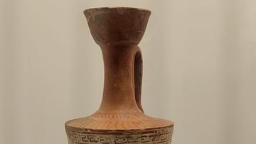
Image
Attic White-Ground Lekythos
This vessel is decorated with a female figure advancing towards a wool basket, holding a flat basket with wreaths and a lekythos. White lekythoi, perfume vases, were made exclusively in Athens and destined solely for funerary use. The scene...
Image
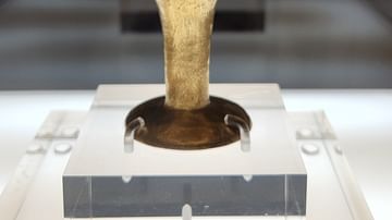
Kylix with Repoussé Representation of Running Hounds
Permanently exhibited at the Benaki Museum as a Mycenaean vase of the Late Helladic II-IIIAI period (15th-early 14th century BCE). Its authenticity is still a matter of discussion among scholars. The decoration of this object of prestige...
Image
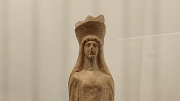
Boeotian Female Figurine
This figure is wearing a peplos (long garment) and a polos (high cylindrical crown). Figurines of this class, which are reminiscent of the Archaic korai in monumental sculpture, were grave goods or votive offerings in sanctuaries. They possibly...
Image
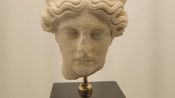
Female Head with Diadem
Roman copy of the head of an Athenian cult statue probably representing a peplos-clad goddess, of the years around c. 430 BCE. The original was perhaps a work by the famous sculptor Agorakritos, a favourite pupil of Pheidias. Parian marble...