Search Images
Browse Content (p. 452)

Image
Arena for a Tree by Klaus Littman
An art installation, Arena für einen Baum / Arena for a Tree by Klaus Littman. Kunstintervention 2022, Zurich. Photo: Aviaticfilms, Courtesy of the KBH.G Cultural Foundation Original source note on usage: Please note that the downloading...

Image
Dancers in the Classroom by Degas
A c. 1880 oil on canvas, Dancers in the Classroom, by Edgar Degas (1834-1917), the French impressionist painter. The composition is striking as the dancers form a diagonal and receding line across the painting which contains a great empty...

Image
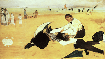
Beach Scene by Degas
A c. 1876-77 pastels on paper, Beach Scene, by Edgar Degas (1834-1917), the French impressionist painter. Painted in the studio, the theme of one female combing the hair of another appears in several of Degas' works. (National Gallery, London...

Image
Self-Portrait with Evariste de Valernes by Degas
A c. 1865 oil on canvas, Self-Portrait with Evariste de Valernes, by Edgar Degas (1834-1917), the French impressionist painter. The artist painted several double-portraits (here he is the figure on the right), typically with each person having...

Image
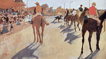
The Parade by Degas
A c. 1866-8 oil on paper mounted on canvas, The Parade (aka Racehorses in Front of the Tribunes), by Edgar Degas (1834-1917), the French impressionist painter. Here the light and shadows of the restless horses interest the artist. (Musée...

Image
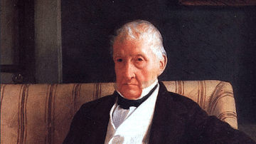
Portrait of René-Hillaire De Gas
An 1857 oil on canvas, Portrait of René-Hillaire De Gas, by Edgar Degas (1834-1917), the French impressionist painter. Degas first made a name for himself as a portrait painter. Here he captures his grandfather, a prominent Neapolitan entrepreneur...

Image
In Front of the Mirror by Degas
An 1889 pastel on paper, In Front of the Mirror, by Edgar Degas (1834-1917), the French impressionist painter. This work covers several themes that interested the artist towards the end of his career: women at their toilette, women putting...

Image
Waiting by Degas
A c. 1882 pastel on paper, Waiting, by Edgar Degas (1834-1917), the French impressionist painter. The artist was keen to show the hard life of rehearsals that ballet dancers had to go through and the aches and pains this caused. Another feature...

Image
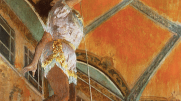
Miss La La at the Cirque Fernando by Degas
An 1879 oil on canvas painting, Miss La La at the Cirque Fernando, by Edgar Degas (1834-1917), the French impressionist painter. This circus was close to the artist's apartment in Paris and Miss La La's acrobatics – suspending herself from...

Image
Dancer in Front of a Window by Degas
A c. 1874-77 oil on canvas painting, Dancer in Front of a Window (aka Dancer at the Photographer's Studio), by Edgar Degas (1834-1917), the French impressionist painter. The photographer's presence in the scene is indicated only by one leg...