
Search Images
Browse Content (p. 497)
Image
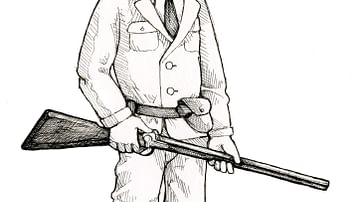
Late Victorian European colonialist (From the Novel "The Jericho River")
An illustration by Maia Kobabe showing a late victorian European colonialist.
From the novel The Jericho River by David Tollen.
Image
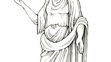
Ancient Roman noblewoman (From the Novel "The Jericho River")
An illustration by Maia Kobabe showing an ancient Roman noblewoman.
From the novel The Jericho River by David Tollen.
Image
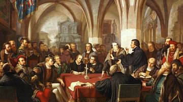
Marburg Colloquy
Marburg Colloquy, a meeting between Huldrych Zwingli and Martin Luther, leading figures of the Protestant Reformation in 1529, oil painting by Christian Karl August Noack, 1867.
Hessisches Landesmuseum Darmstadt.
Image
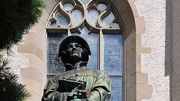
Statue of Zwingli in Zürich
Statue of Swiss reformer Huldrych Zwingli (l. 1484-1531) outside the Wasserkirche in Zürich, Switzerland.
Image
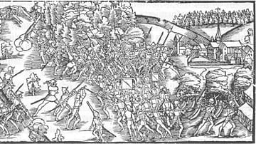
The Battle of Kappel
Image of the Battle of Kappel, 11 October 1531, by the artist Johannes Stumpf in 1548.
Image
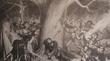
The Murder of Zwingli
The Murder of Zwingli by Karl Jauslin (l. 1842-1904) depicting the death of the Swiss reformer Huldrych Zwingli (l. 1484-1531) at the Battle of Kappel in October 1531.
Image
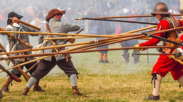
English Civil War Pikemen & Musketeers
English Civil Wars (1642-51) pikemen and musketeer re-enactors of the Sealed Knot.
Image
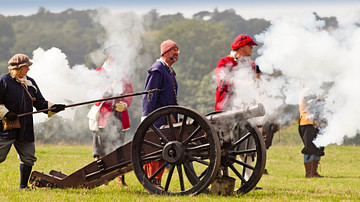
English Civil War Cannon
English Civil Wars (1642-51) re-enactors of the Sealed Knot firing a cannon.
Image
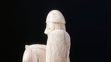
Lewis Knight Chess-piece
Walrus ivory knight chess-piece armed with a spear and kite-shaped shield from the Lewis series, found in Scotland, dated to c. 1150-1175.
The British Museum, London.
Image
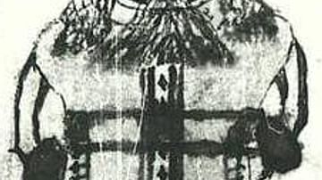
Hoenir
The Norse god Hoenir in a 17th-century Icelandic manuscript, the Edda oblongata.
Árni Magnússon Institute, Reykjavik.