
Search Images
Browse Content (p. 498)

Image
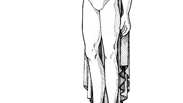
Irish missionary (From the Novel "The Jericho River")
An illustration by Maia Kobabe showing an Irish missionary of the early Middle Ages.
From the novel The Jericho River by David Tollen.
Image
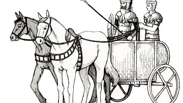
Bronze Age Greek chariot (From the Novel "The Jericho River")
An illustration by Maia Kobabe showing a Bronze Age Greek chariot.
From the novel The Jericho River by David Tollen.
Image
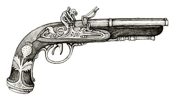
Flintlock pistol (From the Novel "The Jericho River")
An illustration by Maia Kobabe showing a flintlock pistol.
From the novel The Jericho River by David Tollen.
Image
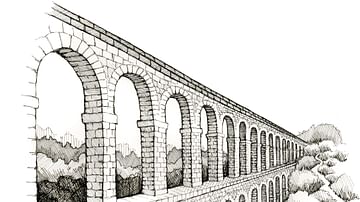
Aqueduct (From the Novel "The Jericho River")
An illustration by Maia Kobabe showing an aqueduct.
From the novel The Jericho River by David Tollen.

Image
Classical Greek temple (From the Novel "The Jericho River")
An illustration by Maia Kobabe showing Classical Greek temple.
From the novel The Jericho River by David Tollen.
Image
The Colossus of Rhodes (From the Novel "The Jericho River")
An illustration by Maia Kobabe showing the Colossus of Rhodes. The Colossus of Rhodes was a gigantic 33-metre-high bronze statue of the sun god Helios which stood by the harbour of that city from c. 280 BCE. From the novel The Jericho River...
Image
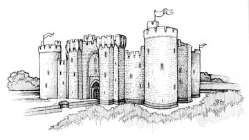
Western European Medieval castle (From the Novel "The Jericho River")
An illustration by Maia Kobabe showing a Western European Medieval castle.
From the novel The Jericho River by David Tollen.
Image
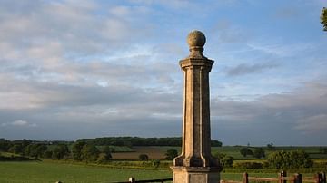
Battle of Naseby Monument
A monument commemorating the Battle of Naseby (14 June 1645) in Northamptonshire during the English Civil Wars (1642-51). The battle was won by the Parliamentarians.
Image
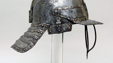
English Civil War Cavalry Helmet
A cavalry helmet typical of those used during the English Civil Wars (1642-51). Often known as a "three-bar pot" for its shape and face protection bars. Made of steel with copper, gold, and silver inlay. (Metropolitan Museum of Art, New York...
Image
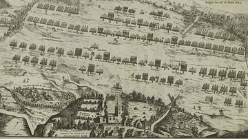
Troop Dispositions, Battle of Naseby
An illustration derived from a 17th-century engraving by Robert Streeter of the troop dispositions at the Battle of Naseby (14 June 1645) during the English Civil Wars (1642-51).