
Search Images
Browse Content (p. 504)
Image
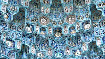
St. Petersburg Cathedral Mosque
Muqarnas in the St. Petersburg Cathedral Mosque, Russia.
Image
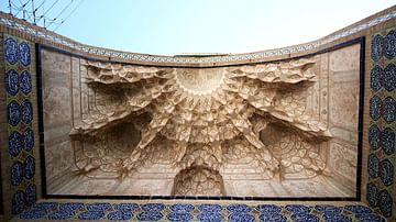
Agha Bozorg Mosque, Kashan
The ceiling of the entrance of the Agha Bozorg Mosque in Kashan, Iran.
Image
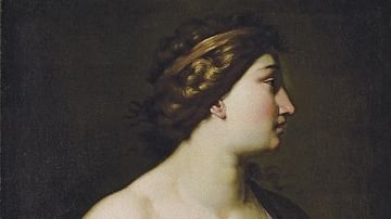
Calliope, muse de l'éloquence et de la poésie épique by Cesare Dandini
Calliope, muse de l'éloquence et de la poésie épique (Calliope, muse of eloquence and epic poetry) by Cesare Dandini.
Image
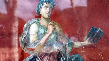
Calliope Fresco
Calliope on an antique fresco from Pompeii.
Image
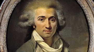
Fabre d'Eglantine
Portrait of Fabre d'Eglantine (1750-1794), the French poet, playwright, and Jacobin politician who is best known for having come up with the names of the months in the French Republican calendar. Oil on canvas by an unknown artist, c. 1790-94...

Image
Map of the French Revolution and Wars 1789-99
The French Revolution (1789–1799) also known The Revolution of 1789 to distinguish it from the ones of 1830 and 1848, was a transformative decade that reshaped France and reverberated across Europe. Sparked by economic crisis, social inequality...

Image
French Republican Calendar
French Republican calendar for Year III (1794-95), drawing by Philibert Louis Debucourt.
Bibliothèque nationale de France.
Image
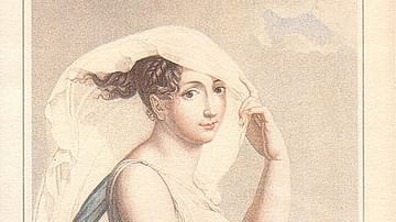
Vendémiaire
An illustration in the French Republican Calendar for the month of Vendémiaire Year VI, or September-October 1797 in the Gregorian calendar. Vendémiaire was the first month of the year under the Republican Calendar. By Salvatore Tresca and...
Image
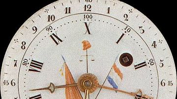
Decimal Clock
A decimal clock manufactured during the French Revolution. Decimal time is measured on the inside of the clock while duodecimal time is on the outside, late 18th/early 19th century.
Image
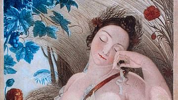
Messidor
Representation of the month of Messidor, the tenth month in the French Republican Calendar meaning "month of harvest", by Louis Lafitte.
National Library & Bureau of Measures.