
Search Images
Browse Content (p. 507)

Image
A Composite Imaginary View of Japan
A large silk embroidered wall hanging, worked in long and short silk stitch, with a composite imaginary view of Japan, including shrines, bridges, lakes, forests and flowers, Mount Fuji rising in the distance, within a brocade border. Khalili...
Image
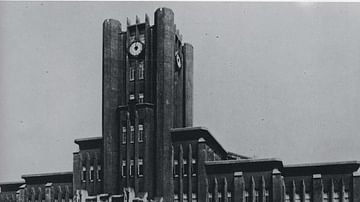
Tokyo Imperial University
Tokyo Imperial University, 1925.
Image
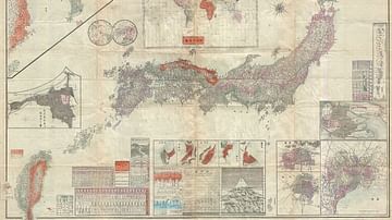
Map of the Japanese Empire, 1895
Map of the Japanese Empire, 1895. It was issued shortly after the 1895 Japanese invasion of Taiwan and is consequently one of the first Japanese maps to include Taiwan and Korea as provinces of Imperial Japan. Geographicus Rare Antique Maps...

Image
Hunnic Mounted Archer
Artist's impression of a female Hunnic mounted archer riding into battle, most likely somewhere on the central Asian steppe. Created by Amplitude Studios for the video game Humankind.

Image
Celtic Warriors
Artist's impression of Celtic warriors standing on a hill. Created by Amplitude Studios for the video game Humankind.
Image
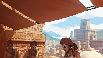
Mauryan Empire Palace Scene
Artist's impression of a palace scene in the Mauryan Empire of India. Created by Amplitude Studios for the video game Humankind.
Image
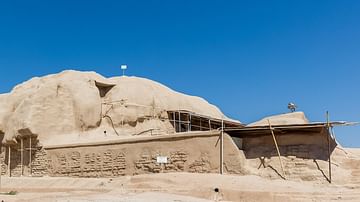
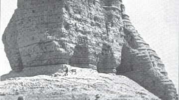
Ziggurat of Tepe Sialk, Iran
Ruins of the Ziggurat from Tepe Sialk, Iran.
Image
Dur-Kurigalzu Ziggurat
Image of Dur-Kurigalzu ziggurat ruins, Iraq.
Image
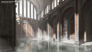
Roman Baths in Bath, England - Digital Reconstruction
A digital reconstruction of what the Roman Baths in modern-day Bath, England may have looked like. Reconstruction created by NeoMam Studios, commissioned by QS Supplies.
Image
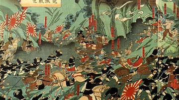
Battle of Shiroyama
Battle of Shiroyama, the final phase of Satsuma Rebellion, painting by Nagashima Mōsai (Utagawa Yoshitora), 1877.