
Search Images
Browse Content (p. 510)
Image
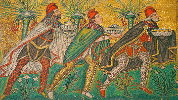
The Three Magi
A Byzantine wall mosaic from Ravenna showing the three Wise Men or Magi (aka the Three Kings) who visited the birth of Jesus Christ in Bethlehem. The three figures are traditionally named as Balthazar, Melchior, and Caspar, although they...
Image
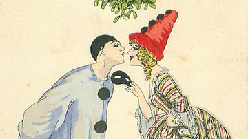
Christmas Partiers under the Mistletoe
A 1917 French New Year's card showing two Christmas party-goers kissing under the mistletoe. Design by Xavier Sager.
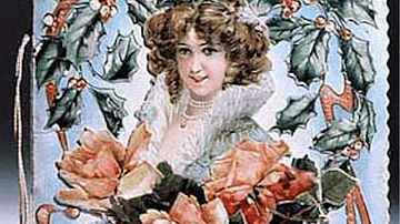
Image
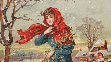
Lady Gathering Mistletoe
A detail of a 19th/early-20th century Christmas card showing a lady gathering mistletoe in the snow. (Welcome Collection Gallery)
Image
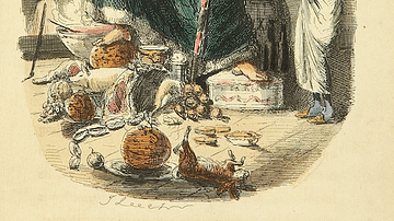
Scrooge & the Ghost of Christmas Present
Ebenezer Scrooge and the Ghost of Christmas Present, illustration by John Leech from A Christmas Carol by Charles Dickens, 1843.
Image
Victorian Christmas Card
A 19th century Christmas card. c. 1880.
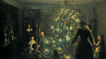
Image
Silent Night by Viggo Johansen
An 1891 painting of a Christmas scene, 'Silent Night' by Viggo Johansen. (Hirschsprung Collection, Copenhagen)
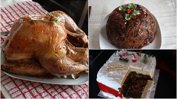
Image
Traditional British Christmas Food
Three traditional dishes eaten during a British Christmas holiday.
Left: Roast turkey
Top Right: Christmas pudding
Bottom right: Christmas cake
(the cake and pudding were made by Ruth Cartwright)

Image
Adoration of the Mystic Lamb, Ghent Altarpiece
The Adoration of the Mystic Lamb central interior oil paint on wood panel from the Ghent Altarpiece by the Netherlandish Renaissance artist Jan van Eyck (c. 1390-1441 CE). An inscription on the reverse also credits Hubert van Eyck (d. 1426...
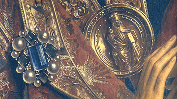
Image
Detail from the Ghent Altarpiece
A detail of a jewel and robe from an upper interior panel of the Ghent Altarpiece, aka The Adoration of the Mystic Lamb. Credited to the Renaissance artist Jan van Eyck (c. 1390-1441 CE) and made in 1432. An inscription on the reverse also...
Image
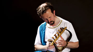
Michael Levy
Michael Levy, a prolific lyre player and composer.