
Search Images
Browse Content (p. 514)
Image
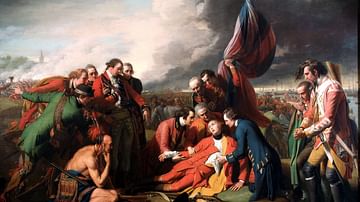
The Death of General Wolfe
A painting from 1770 presenting the death of General Wolfe during the Battle of the Plains of Abraham, also known as the Battle of Quebec. This battle was an important event during the Seven Years' War that laid the foundations of modern-day...
Image
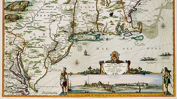
New Netherland Map
A map of New Netherland published by Nicolaes Visscher II (1649–1702) in 1684. This map is partially a copy of the map by Jan Janssonius (1588-1664) from 1651.

Image
Map of New France
A map produced in 1719 showing New France. The pink area marks the territory of Canada.
Image
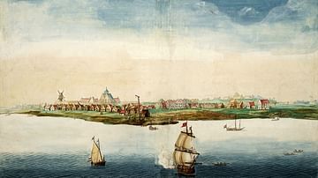
New Amsterdam
An image portraying New Amsterdam, centred in the eventual Lower Manhattan, in 1664, the year England under Richard Nicolls took control and renamed it "New York".
Image
Samuel de Champlain arrives to Quebec
A painting from 1909 portraying the arrival of Samuel de Champlain, the father of New France, on the site of Quebec City. Samuel de Champlain (c. 1567-1635) was a French explorer who made multiple trips across the Atlantic Ocean. He founded...
Image
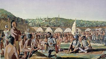
Jacques Cartier a Hochelaga
A watercolour from 1933 showing Jacques Cartier visiting the village of Hochelaga on 3 October 1535. Hochelaga was an Iroquoian fortified village located on or near Mount Royal in present-day Montreal, Quebec. Arriving in 1535, Cartier was...
Image
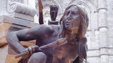
Iroquois Monument Maisonneuve
The Maisonneuve Monument is a monument of an Iroquois by sculptor Louis-Philippe Hébert built in 1895 in Place d'Armes in Montreal.
Image
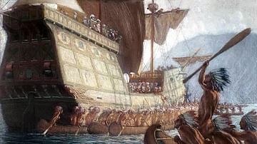
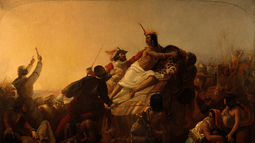
The Capture of Atahualpa
A painting portraying the capture of Atahualpa (r. 1532-33), the Inca emperor, by the Spanish conquistador and adventurer Francisco Pizarro on 16 November 1532. This capture was considered to be the first step of the long conquest of the...
Image
Henry Hudson Portrait
A speculative portrait of Henry Hudson (c. 1565 -1611 CE) that was made around 1885. Hudson was an English sea navigator who explored areas of present-day Canada and parts of the modern New York metropolitan area. He was working for the Dutch...
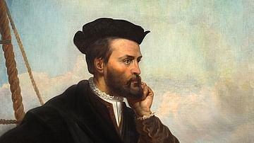
Image
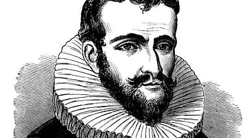
Jaques Cartier
A portrait of Jaques Cartier (1491-1557 CE) a French-Breton maritime explorer. He was the first European who mapped the Gulf of Saint Lawrence and the shores of the Saint Lawrence River. He was also the one who named these lands "The Country...