Search Images
Browse Content (p. 515)
Image
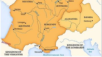
Merovingian Kingdoms
Map of the Merovingian kingdoms at their height.
Image
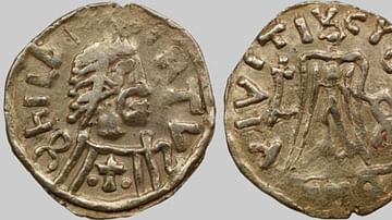
Coin of Childebert II
Coin of Childebert II of Austriasia (r. 575-596).
National Library of France.

Image
Henry III of France
Henry III of France (r. 1574-1589), oil on canvas by Nicholas Hilliard, c. 1576-78.
Private Collection.
Image
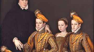
Catherine de' Medici and Her Children
Catherine de' Medici and Her Children, oil on canvas by the workshop of François Clouet, 1561.
Image
Henry II of France
Henry II of France (r. 1547-1559), oil on canvas by the workshop of François Clouet.
Castle of Montal.

Image
Portrait of Catherine de' Medici
Portrait of Catherine de' Medici (1519-1589), oil on canvas by Germain Le Mannier, c. 1547-1559.
Uffizi, Florence.

Image
Fortification Walls, Sacsayhuaman
A section of the fortification walls of the Inca Sacsayhuaman (also Saqsawaman) fortress-temple complex of northern Cusco, 13th-15th century CE.
Image
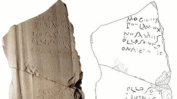
Grafenstein Inscription
The Grafenstein inscription. Noric language recorded on a tile from the 2nd century CE, discovered in a gravel pit in 1977 in Grafenstein, Austria.
Image
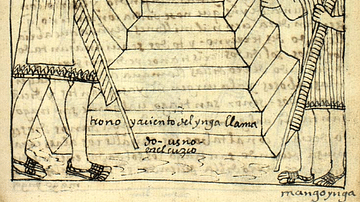
Coronation of Manco Inca Yupanqui
An early 17th-century illustration by Felipe Guáman Poma de Ayala showing the coronation of the new Inca ruler, Manco Inca Yupanqui on 16 November 1533. Manco Inca was a puppet ruler of the conquistadors but he rose up in rebellion and led...
Image
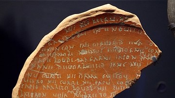
Lezoux Plate
The Lezoux plate, a ceramic plate found in 1970 at Lezoux, Puy-de-Dôme, France. The engraved text is one of the longest ones in the Gaulish language, in a Gallo-Latin cursive script.
Prefectural Museum of Ceramics, Lezoux