Search Images
Browse Content (p. 518)

Image
Entrance to Saint Sophia Cathedral, Kyiv
Saint Sophia Cathedral, located on Sophia's Square in Kyiv.
Image
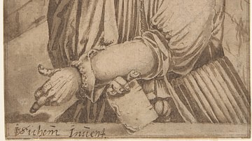
Portrait of Jan Hus
Portrait of Jan Hus (l. c. 1369-1415), pen and brown ink drawing by Christoffel van Sichem I, mid-16th to early 17th century.
Metropolitan Museum of Art, New York.
Image
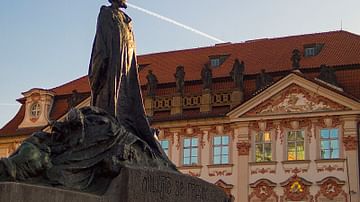
Jan Hus Statue
Jan Hus (l. c. 1369-1415), bronze sculpture by Ladislav Saloun.
Old Town Square, Prague.

Image
Matej Hádek as Jan Hus
Matej Hádek as Jan Hus (l. c. 1369-1415) in the movie Jan Hus (2015) by Czech Television.
© Ä?eská televize - Yan Renelt, PacholÃkova 443/2, 143 00 Praha 4
Image
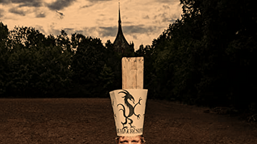
Jan Hus Being Burned at Stake
Matej Hádek as Czech theologian and reformer Jan Hus (l. c. 1369-1415) being burned at stake for his critique of the medieval Church, in the movie titled Jan Hus (2015). Image by Czech Television. © Ä?eská televize - Yan Renelt, PacholÃkova...
Image
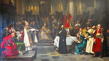
The Trial of Jan Hus
Trial of a Chech reformer and theologian Jan Hus (l. c. 1369-1415) who tried the Council of Constance and burnt at the stake. Oil on canvas painting by Vaclav Brozik, 1883.
Old Town Hall, Prague.
Image
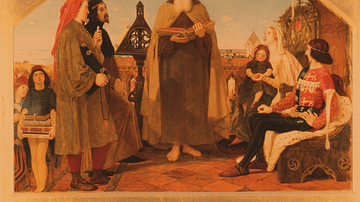
John Wycliffe with the Bible
John Wycliffe reading his translation of the Bible to John of Gaunt, oil on canvas painting by Ford Madox Brown between 1847 and 1861.
Bradford Art Galleries and Museums, Bradford.

Image
John Wycliffe
John Wycliffe (c. 1330-1384), English theologian and translator of the Bible, oil on canvas painting by Thomas Kirkby, c. 1828.
Balliol College, University of Oxford.
Image
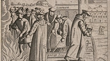
Exhumation of John Wycliffe
Exhumation of John Wycliffe (c. 1330-1384), English theologian and translator of the Bible 41 years after his death, etching by an unknown artist.
Wellcome Collection, London.
Image
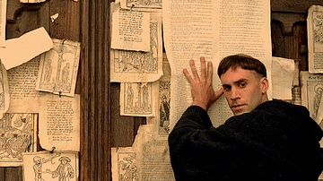
Luther's Ninety-Five Theses Nailed to the Wittenberg Church's Door
Joseph Fiennes as Martin Luther (l. 1483-1546) nailing the Ninety-Five Theses to the door of the Wittenberg church in the movie Luther (2003).
© Eikon Film and NFP Teleart