Search Images
Browse Content (p. 533)

Image
Mary Read from Assassin's Creed IV: Black Flag
An artist's impression of how the pirate Mary Read (d. 1721) may have looked.
Image from the computer game Assassin's Creed IV: Black Flag by Ubisoft.
© 2013 Ubisoft

Image
Ruth Swearing her Allegiance to Naomi
Ruth swearing her allegiance to Naomi, oil on canvas painting by Jan Victors, 1653.
Private collection.

Image
Scythian Territory
A Google Earth image of the Scythian territorial expanse.
Google Earth (Data: SIO, NOAA, U.S. Navy, NGA, GEBCO, Image: Landsat / Copernicus)
Image
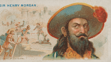
Sir Henry Morgan Cigarette Card
A late-19th century cigarette card showing the buccaneer turned lieutenant-governor Sir Henry Morgan (c. 1635-1688). Produced by Allen & Ginter. Lithographer: George S. Harris & Sons. (Metropolitan Museum of Art, New York)
Image
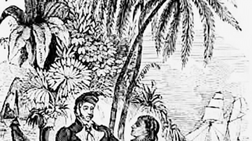
Pirate on Madagascar
An 18th-century illustration showing the idyllic life of a pirate on the island of Madagascar in the Indian Ocean. Despite tales of pirate kings living a life of ease on the island, the reality was rather less idyllic with in-fighting between...
Image
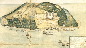
17th Century Tortuga
A 17th-century illustration of the buccaneer and pirate base of Tortuga, located on the northwest coast of Hispaniola (modern Haiti and the Dominican Republic).
Image
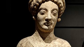
Female Statue from Magna Graecia
Female terracotta statue from Magna Graecia, made in Medma (modern-day Italy), 480-460 BCE. From the 8th century BCE, the Greeks settled southern Italy (Magna Graecia) and Sicily. Over time, the colonies became independent from their mother...
Image
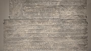
Stela of Kulamuwa with Phoenician Inscription
Plaster mould of a stela found in Sam'al (modern Zincirli, Turkey), dated to 825 BCE. It shows king Kulamuwa alongside a long inscription in Phoenician writing. In his left hand, the king holds a lotus in his left hand and four divine symbols...
Image
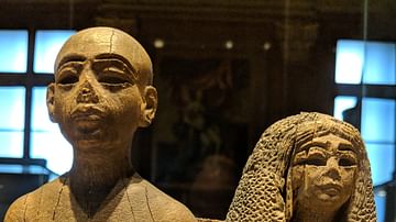
Sementaoy and Rouiay, an Egyptian Couple
Wooden figurine depicting an Egyptian couple (c. 1350-1300 BCE): Sementaoy, servant of the king, and his wife Rouiay, singer of Amon. Underneath the seat of the wife, a pet monkey is eating fruit (not visible in this photo). Louvre Museum...
Image
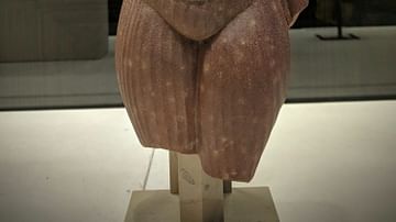
Torso of Nefertiti
Female torso, most likely of Nefertiti, made of quartz.
Louvre Museum, Paris.