Search Images
Browse Content (p. 571)

Image
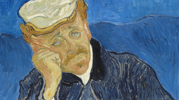
Doctor Paul Gachet by van Gogh
An 1890 oil on canvas portrait painting, Doctor Paul Gachet, by Vincent van Gogh (1853-90), the Dutch post-impressionist artist. Painted in June in Auvers-sur-Oise in northern France where Dr. Gachet (1828-1909) lived. He was a physician...

Image
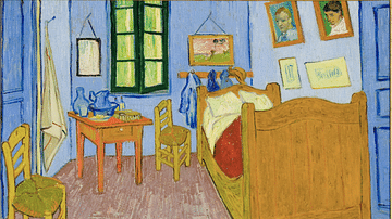
Bedroom in Arles by Van Gogh
An 1889 oil on canvas painting, Bedroom in Arles, by Vincent van Gogh (1853-90), the Dutch post-impressionist artist. Painted in October, this was the artist's own room in the Yellow House he rented. He has painted all the contents of the...

Image
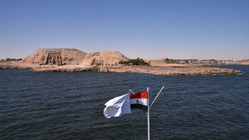
View of Abu Simbel from Lake Nasser
The two rock-cut temples of Abu Simbel (the Great Temple of Ramesses II and the Small Temple of his wife Nefertari) are situated on the west bank of the Nile in southern Egypt. As a result of the construction of the Aswan High Dam in the...

Image
Starry Night by van Gogh
An 1889 oil on canvas painting, Starry Night, by Vincent van Gogh (1853-90), the Dutch post-impressionist artist. Painted in June in Saint-Rémy-de-Provence, France. This is a view from the artist's window in the asylum he voluntarily admitted...

Image
The Oracle at Delphi (Artist's Impression)
Two Greek nobles consult with the Oracle at Delphi before setting out to establish a new colony abroad. Art by Mateusz Przeklasa.

Image
Le Moulin de Blute-Fin by van Gogh
An 1886 oil on canvas painting, Le Moulin de Blute-Fin, by Vincent van Gogh (1853-90), the Dutch post-impressionist artist. Painted in Paris while van Gogh shared an apartment with his brother Theo. The artist made a whole series of paintings...

Image
The Potato Eaters by van Gogh
An 1885 oil on canvas painting, The Potato Eaters, by Vincent van Gogh (1853-90), the Dutch post-impressionist artist. Painted in Neunen, Netherlands. Van Gogh created this work by combining various earlier studies of individuals, hence their...

Image
Café Terrace at Night by van Gogh
An 1888 oil on canvas, Café Terrace at Night, by Vincent van Gogh (1853-90), the Dutch post-impressionist artist. Painted in September in the place du Forum of Arles, France. The artist here uses the strong contrasting colours of yellow and...

Image
Sunflowers by van Gogh
An 1888 oil on canvas still life, Twelve Sunflowers in a Vase, by Vincent van Gogh (1853-90), the Dutch post-impressionist artist. Painted in August in Arles, France. This is one of several versions of the same theme, all painted to decorate...

Image
The Night Café by van Gogh
An 1888 oil on canvas painting, The Night Café, by Vincent van Gogh (1853-90), the Dutch post-impressionist artist. Painted in September in place du Forum in Arles, France. It is the interior of the same café which features in the Café Terrace...