Search Images
Browse Content (p. 588)

Image
Hiroshima Castle
Hiroshima Castle in Japan was built in 1589 CE.
Image
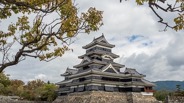
Matsumoto Castle
Matsumoto Castle in Nagano Prefecture, Japan was completed in 1504.

Image
Okayama Castle
Okayama Castle in Okayama Prefecture, Japan. The castle was built in 1597. The main tower was replicated in 1966 after being destroyed during World War II.
Image
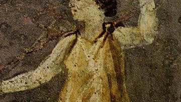
Fresco of Hipparchia of Maroneia
Detail of a 1st Century CE fresco depicting Hipparchia of Maroneia (l.c. 350 – 280 BCE). From the garden of the Villa Farnesina, Museo delle Terme, Rome.
Image
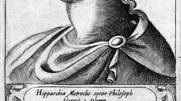
Early Modern Drawing of Hipparchia of Maroneia
An early modern reimagining of the philosopher Hipparchia of Maroneia (l. c. 350 – 280 BCE). From the 1580 CE book Illustrium philosophorum et sapientum effigies ab eorum numistatibus extractae, by Girolamo Olgiati. Reprinted 1583.

Image
Fresco of Hipparchia & Crates
A Roman fresco depicting Hipparchia of Maroneia (l. c. 350 – 280 BCE) and Crates of Thebes (l. c. 360 – 280 BCE). 1st Century CE. From the Villa Farnesina, Museo delle Terme, Rome.

Image
Global Extent of Viking Exploration, 8th-11th Century
A map illustrating the far-reaching voyages and settlements of the Vikings during the 8th to 11th centuries, spanning much of Europe, the North Atlantic, and parts of North America. Viking explorers and traders traveled as far west as Newfoundland...
Image
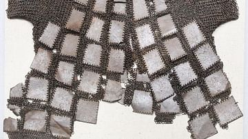
Korean Lamellar Armour
This iron lamellar armour and mail shirt was created in Goryeo (modern-day Korea) during the 14th Century.
Image
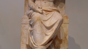
Cult Statue of Zeus Hypsistos
The cult statue of Zeus was found in the Temple of Zeus Hypsistos at Dion in Macedonia (Greece). The god is depicted seated on a throne, his right hand holding a thunderbolt while the left arm is raised to hold a scepter. He wears a himation...

Image
Hydraulis of Dion
The Hydraulis of Dion is a unique exhibit of the archaeological museum in Dion in Macedonia. It is the oldest instrument of that type discovered so far. The organ was produced in the 1st century BCE.