
Search Images
Browse Content (p. 710)

Image
Enoch Being Taken to Heaven by God
Enoch is taken up to heaven, chalk painting by Albertus Pictor (1440-1507) in Trave 2 of Härkeberga Church, Enköping, Sweden. The painting portrays the biblical character Enoch being taken to heaven by God. He...
Image
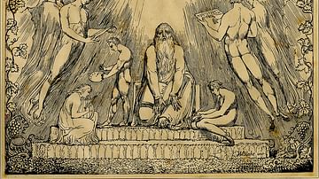
Enoch
Enoch, lithograph by William Blake, published in London, 1803-1807. The British Museum, London. The lithograph portrays the biblical character Enoch, son of Jared, father of Methuselah, and an ancestor of Noah. Enoch was a key figure...

Image
Map of the Greek City-states c. 500 BCE
This map illustrates the city-states of Classical Greece around 500 BCE, highlighting the rise of the polis system and the growing reach of Hellenic influence along the Mediterranean and Black Sea coasts. The...

Image
Henry Every
Henry Every (b. 1653), also known as Henry Avery, was an English pirate who captured a fantastic treasure ship belonging to the Mogul of India in 1695 and then disappeared. No contemporary portrait survives and this artist's impression...
Image
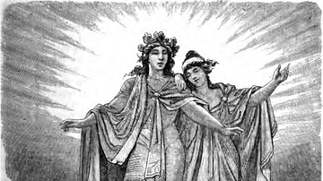
Baldr and Nanna
The Norse god Baldr and his wife Nanna, illustration from page 271 of Nordisch-germanische Götter und Helden by Wilhelm Wägner, Otto Spamer, Leipzig & Berlin, 1882. Baldr was a beloved son of Odin and Frigg. Despite being universally...

Image
Jolly Roger of Henry Every
The Jolly Roger of the English pirate Henry Every. He also used the same design on a black background. Every captured fabulous treasure from an Indian treasure ship in 1695 and disappeared soon after never to be seen again...
Image
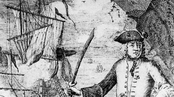
Henry Every and his Ship Fancy
A 1702 illustration of the English pirate Henry Every and his ship the Fancy. Every captured fabulous treasure from an Indian treasure ship in 1695 and disappeared soon after never to be seen again.
Image
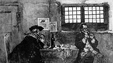
Henry Every and a Jewel Fence
An illustration by Howard Pyle showing the English pirate Henry Every selling jewels to a fence. Every captured fabulous treasure from an Indian treasure ship in 1695 and disappeared soon after never to be seen again...
Image
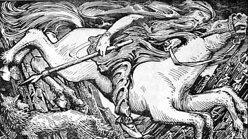
Odin Rides to Hel
Odin rides to Hel, illustration from page 238 of The Elder or Poetic Edda; commonly known as Sæmund's Edda, edited and translated with introduction and notes by Olive Bray, illustrated by W.G. Collingwood, 1908.

Image
Sacrifices of Cain and Abel
Relief from the Nîmes Cathedral depicting the sacrifices of Cain and Abel. Cain and Abel were sons of the first humans Adam and Eve in the biblical Book of Genesis. Cain was a farmer, and Abel was a shepherd. They both...
