
Search Images
Browse Content (p. 848)
Image
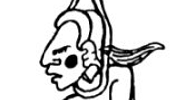
Ixtab
Depiction of a Maya deity or supernatural figure appearing on page 53a of the Dresden Codex, identified as a representation of Ixtab.
Image
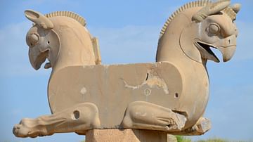
Huma Birds
Double griffin capital, locally known as "huma birds" probably from the Unfinished Gate, Persepolis, Iran.
Image
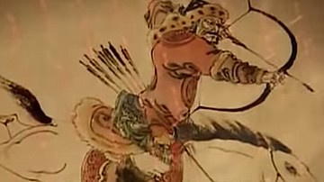
Mongol Archer
An illustration detail of a Mongol archer of the 13th century CE.
Image
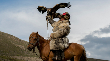
Mongol Falconer
A traditional Mongol falconer.
(Image by www.davidbaxendale.com)
Image
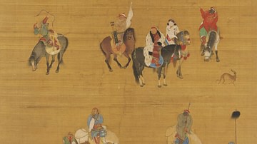
Kublai Khan on a Hunting Expedition
A painted silk scroll showing Kublai Khan (r. 1260-1294 CE) on a traditional Mongol hunting expedition. Painted by Liu Guandao, 1280 CE. (National Palace Museum, Taipei)
Image
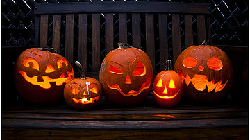
Jack-o'-Lanterns
Pumpkins carved for Halloween.
Image
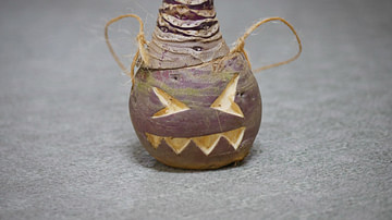
Turnip Lantern
On All Hallows Eve, the Irish hollowed out turnips and carved them with faces, placing a candle inside, so that as they went about “souling” on the night when the veil between life and death was thinnest, they would be protected from spirits...
Image
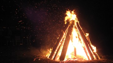
Bonfire on Guy Fawkes Day
Guy Fawkes Day celebration in Leamington
Image
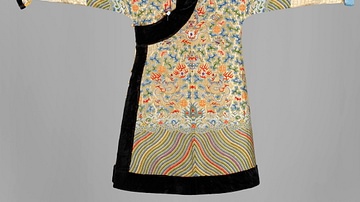
Mongolian Deel Robe
A traditional Mongolian deel robe. The embroidery and fur trim of this example indicate it was likely worn at the imperial court.
Image
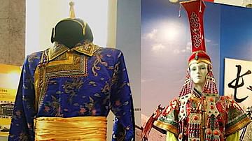
Mongol Clothing of the Imperial Court
Examples of male and female clothing worn by Mongols at the imperial Yuan Dynasty court in the 13th and 14th century CE. (Intangible Cultural Heritage Exhibition, National Museum of China, Beijing)