Search Images
Browse Content (p. 972)
Image
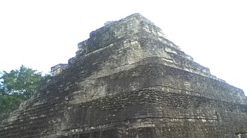
Temple 1 at Chacchoben
Structure known as Temple 1 at Maya site of Chacchoben c. 700 CE. The temple is astronomically aligned to focus the first rays of dawn on the summer solstice down onto an area where once a statue or stele would have stood.
Image
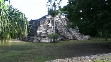
Temple of Las Vasijas at Chacchoben
Temple of Las Vasijas ("the vessels") at Maya site of Chacchoben c. 700 CE.

Image
Statue of William the Conqueror
A modern statue of William the Conqueror, Duke of Normandy (r. 1035-87 CE) and king of England as William I (r. 1066-87 CE). In Falaise, Normandy, France. Sculpted by Louis Rochet (1818-1873) in 1851 CE.
Image
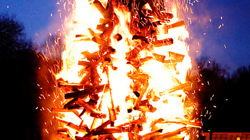
Yule Bonfire
Modern-day Yule bonfire in Sweden.
Image
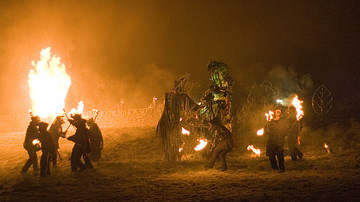
Imbolc Festival
The Green Man fighting Jack Frost at a Neopagan Imbolc Festival, Marsden, England, 2007.
Image
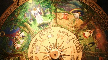
Wheel of the Year
Painted Wheel of the Year from the Museum of Witchcraft, Boscastle.
Image
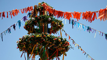
Maypole
The phallic symbol known as the Maypole, which is decorated with long strands of ribbon that participants would hold onto as they dance, evolved from the Celtic Beltane rituals.
Image
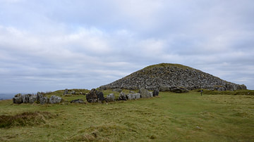
Loughcrew Cairns
5,000-year-old megalithic cairn in the Boyne Valley, Ireland.
Image
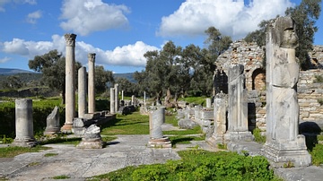
The Agora of Iassos
The Agora of Iassos, reconstructed mainly during Hadrian’s time, its initial building must have started in the 4th century BC.
Image
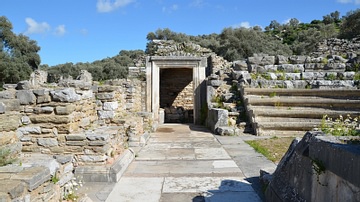
Scaena of the Bouleuterion of Iassos
The scaena (stage) of the Bouleuterion of Iassos decorated with opus sectile (marble inlay).